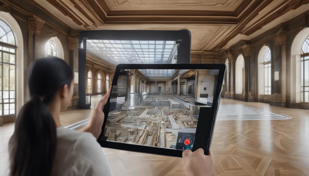
With the growing demand for augmented reality (AR) software products, businesses are increasingly focusing on specialized solutions to meet their unique needs. One such solution is AR navigation, which combines the power of augmented reality with indoor positioning technologies to provide users with an enhanced navigation experience.
If you’re looking to create an augmented reality app for navigation, this guide is for you. We’ll explore the ins and outs of AR navigation app development, provide insights into the implementation challenges, and discuss the different technologies and platforms available.
Contents
Key Takeaways:
- AR navigation apps combine augmented reality with indoor positioning technologies for an enhanced navigation experience.
- Developing an AR navigation app involves creating an indoor map and populating it with metadata.
- Platforms like ARCore and ARKit provide the necessary tools and frameworks for AR navigation app development.
- Understanding the limitations and potential of AR navigation is crucial for building successful apps.
- The future of AR navigation holds great potential for revolutionizing navigation experiences across various industries.
Before delving into AR navigation, it is essential to understand the different indoor navigation technologies available. While GPS is effective for outdoor navigation, it falls short when it comes to accurate positioning indoors. Instead, various technologies such as beacons, visual positioning systems, and visual markers are commonly used to overcome this challenge.
Beacons are small devices that rely on Bluetooth Low Energy (BLE) technology to transmit signals. Placed strategically within a building, beacons emit signals that can be detected by mobile devices. By measuring the strength of these signals, the device can determine its proximity to the beacons and provide accurate positioning information within a five-meter range. This technology is widely used in indoor navigation applications and offers a practical and cost-effective solution.
Visual Positioning Systems
Visual positioning systems utilize the device’s camera and computer vision algorithms to analyze the surroundings and determine the user’s precise location. By capturing images or video footage of the environment, the system can identify visual features such as objects, landmarks, or QR codes to establish the user’s position. This technology enables accurate indoor navigation and does not require additional hardware infrastructure.
Visual Markers for Indoor Positioning
Visual markers are unique images that serve as reference points for indoor positioning. These markers can be recognized by specialized software or mobile applications through image recognition techniques. By detecting and interpreting the visual markers, the system can determine the user’s location within a specific area, allowing for precise indoor positioning. Visual markers offer flexibility and scalability in various indoor environments.
By leveraging these indoor navigation technologies, developers can create augmented reality navigation applications that provide accurate positioning and intuitive navigation experiences. The next section will explore how AR navigation combines these technologies to enhance navigation capabilities.
Stay tuned for the next section where we delve into the workings of AR navigation and how it combines indoor navigation technologies with augmented reality overlays to provide real-time information and intuitive guidance.
AR navigation is an innovative technology that combines indoor navigation with augmented reality overlays to provide users with a seamless and immersive navigation experience. By leveraging the device’s camera and sensors, AR navigation apps can enhance the user’s perception and understanding of their surroundings by overlaying real-time location-based information onto the camera view.
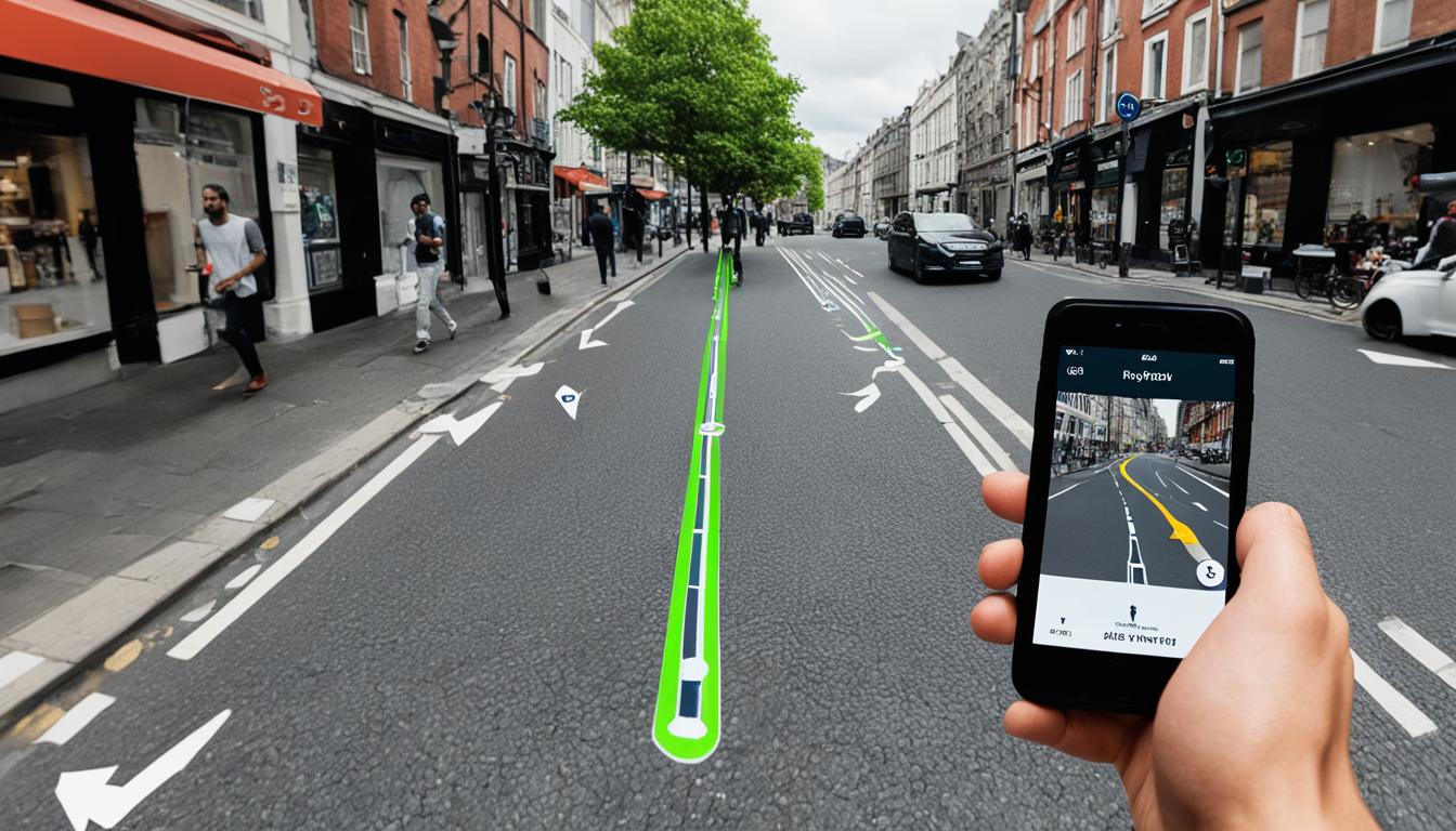
When using an AR navigation app, the device determines the user’s position using GPS or other indoor positioning technologies. It then displays AR directions, such as text, arrows, and paths, directly on the screen. This allows users to navigate their surroundings more intuitively and effectively, as they can visually see the directions overlaid onto the real-world environment.
The augmented reality overlays provide visual cues and guidance, making it easier for users to follow the designated route and reach their destination. These overlays may include directional arrows pointing towards the desired location, distance indicators, or even virtual paths superimposed on the floor.
The real-time location-based information is continuously updated, ensuring that users receive accurate guidance throughout their journey. Whether they are walking in a complex indoor space or exploring an unfamiliar environment, AR navigation apps can help users navigate with confidence and reduce the chances of getting lost.
Using AR navigation apps can also enhance the overall user experience by providing additional contextual information. For example, users can see points of interest, nearby amenities, or specific landmarks overlaid onto the camera view, enriching their understanding of the environment and enabling them to make informed decisions.

Once the indoor map is created, the next step is to populate it with metadata to define corridors and rooms. This information forms the basis of the navigation graph, which outlines the pathways and connections between different areas. By creating a well-defined navigation graph, you can enable efficient routing and provide users with clear directions within the indoor space.
ARCore and ARKit are powerful platforms that provide the necessary tools and frameworks to develop mobile AR indoor navigation applications. These platforms offer features like motion tracking, environmental understanding, and light estimation, enabling the app to accurately overlay AR elements on the device’s camera view. By utilizing the capabilities of these platforms, you can deliver a seamless and immersive AR navigation experience to your users.
Considerations for Performance and Scalability
When developing an AR navigation app, it is important to consider performance and scalability. Ensuring that the app runs smoothly on a variety of devices and provides accurate real-time information is crucial for a positive user experience. Additionally, optimizing the app for scalability allows for future expansion and integration with external services or data sources.
Offline Functionality and Integration
Another consideration is the potential for offline functionality. By incorporating offline capabilities, users can still access navigation information even in areas with limited or no internet connectivity. Additionally, integrating the app with external services or APIs can enhance its functionality and provide users with additional features or information.
“Developing an AR navigation app requires careful planning and attention to detail. By creating an indoor map, building a navigation graph, and leveraging the capabilities of platforms like ARCore and ARKit, you can deliver a powerful and immersive mobile AR indoor navigation experience to your users.”
In the next section, we will discuss the potential limitations of AR navigation technology and how to overcome them.
Conclusion
AR navigation app development presents a significant advancement in the field of navigation, offering users a transformative way to navigate and interact with their surroundings. While there are limitations to the current technology, the future of AR navigation holds great promise for enhancing navigation experiences across various industries.
By understanding the different indoor navigation technologies, such as GPS, beacons, visual positioning systems, and visual markers, businesses and entrepreneurs can leverage the power of augmented reality for navigation. AR navigation combines the accuracy of indoor positioning technology with real-time location-based information presented through augmented reality overlays, enabling users to navigate their surroundings more intuitively and effectively.
The development process of an AR navigation app involves creating an indoor map with visual markers, defining corridors and rooms, and building a navigation graph. Platforms like ARCore and ARKit provide the necessary tools and frameworks for creating mobile AR indoor navigation applications. Additionally, considerations should be given to the app’s performance, precision, scalability, offline functionality, and integration with external services.
Looking ahead, the future of AR navigation is promising. As technology continues to advance, it is expected that AR navigation will overcome current limitations and deliver even more precise and interactive navigation experiences. With ongoing research and development, the possibilities for AR navigation in various industries are endless, opening up new avenues for innovation and revolutionizing the way we navigate our world.
FAQ
AR navigation combines indoor navigation technologies with augmented reality overlays. It uses the device’s camera and sensors to provide real-time location-based information and overlays it onto the camera view. The app determines the user’s position using GPS or other indoor positioning technologies and displays AR directions, such as text, arrows, and paths, on the screen.
While AR navigation can provide general directions and guidance, it may not be able to lead users directly to specific products or books on a shelf with centimeter accuracy. To achieve high precision and performance, it is important to invest in technologies like ARCore and ARKit, which offer reliable hardware and software support. The LiDAR sensor available in some devices can also enhance AR navigation by providing superior depth-sensing capabilities.
Developing an AR navigation app involves creating an indoor map with visual markers to accurately map the environment. This map needs to be populated with metadata to define corridors and rooms, creating a navigation graph. The app can be developed for mobile devices using platforms like ARCore and ARKit, which provide the necessary tools and frameworks for building AR navigation applications.
GPS is not suitable for accurate positioning indoors. Instead, beacons, visual positioning systems, and visual markers are used. Beacons rely on measuring signals from physical beacons placed within a building, providing accurate positioning within 5 meters. Visual positioning systems use the device’s camera to analyze the surroundings and determine the user’s location, while visual markers are unique images that can be recognized by the system for precise indoor positioning.
While there are limitations to the current technology, the future of AR navigation holds great potential for enhancing navigation experiences in various industries. By understanding the indoor navigation technologies, the workings of AR navigation, and the steps involved in developing an AR navigation app, businesses and entrepreneurs can harness the power of augmented reality for navigation and create innovative solutions that revolutionize the way we navigate.


